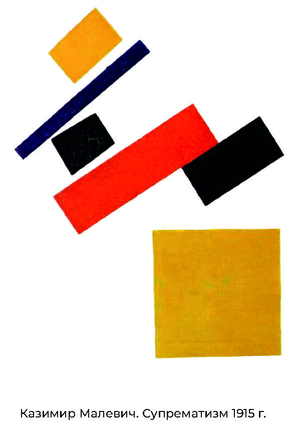
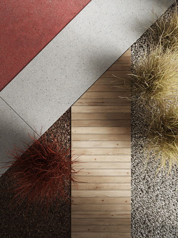
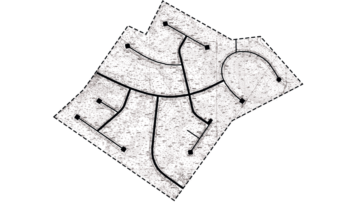
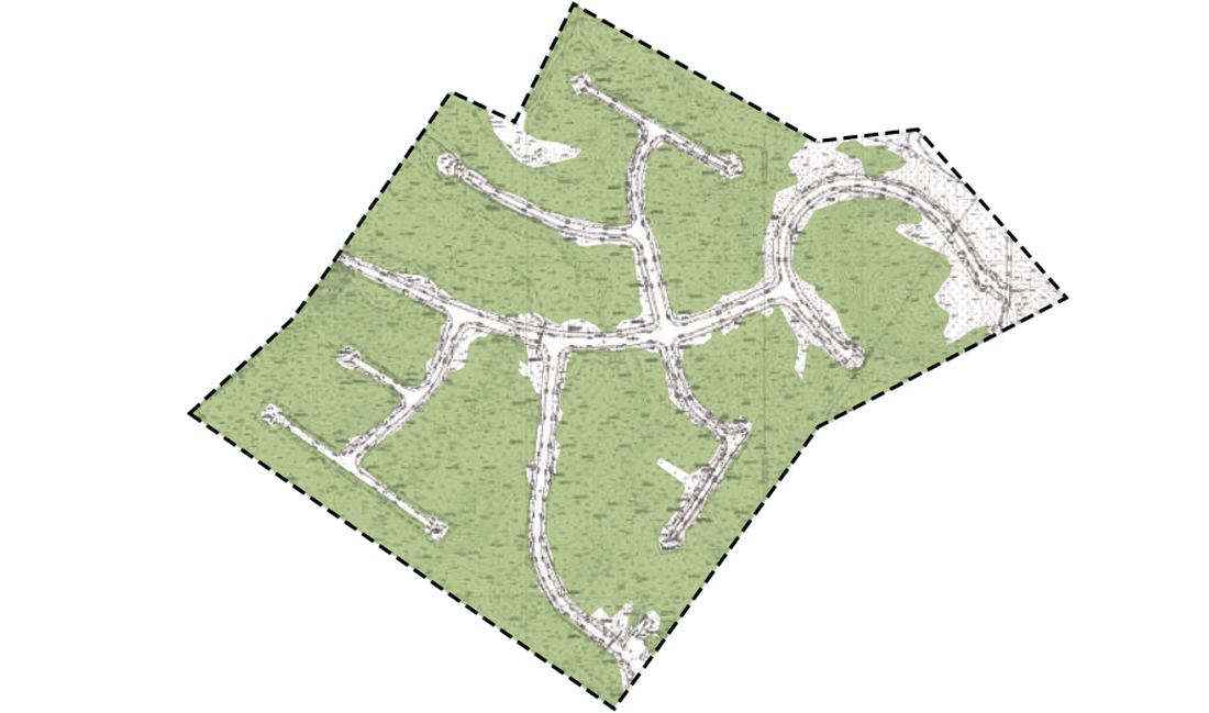
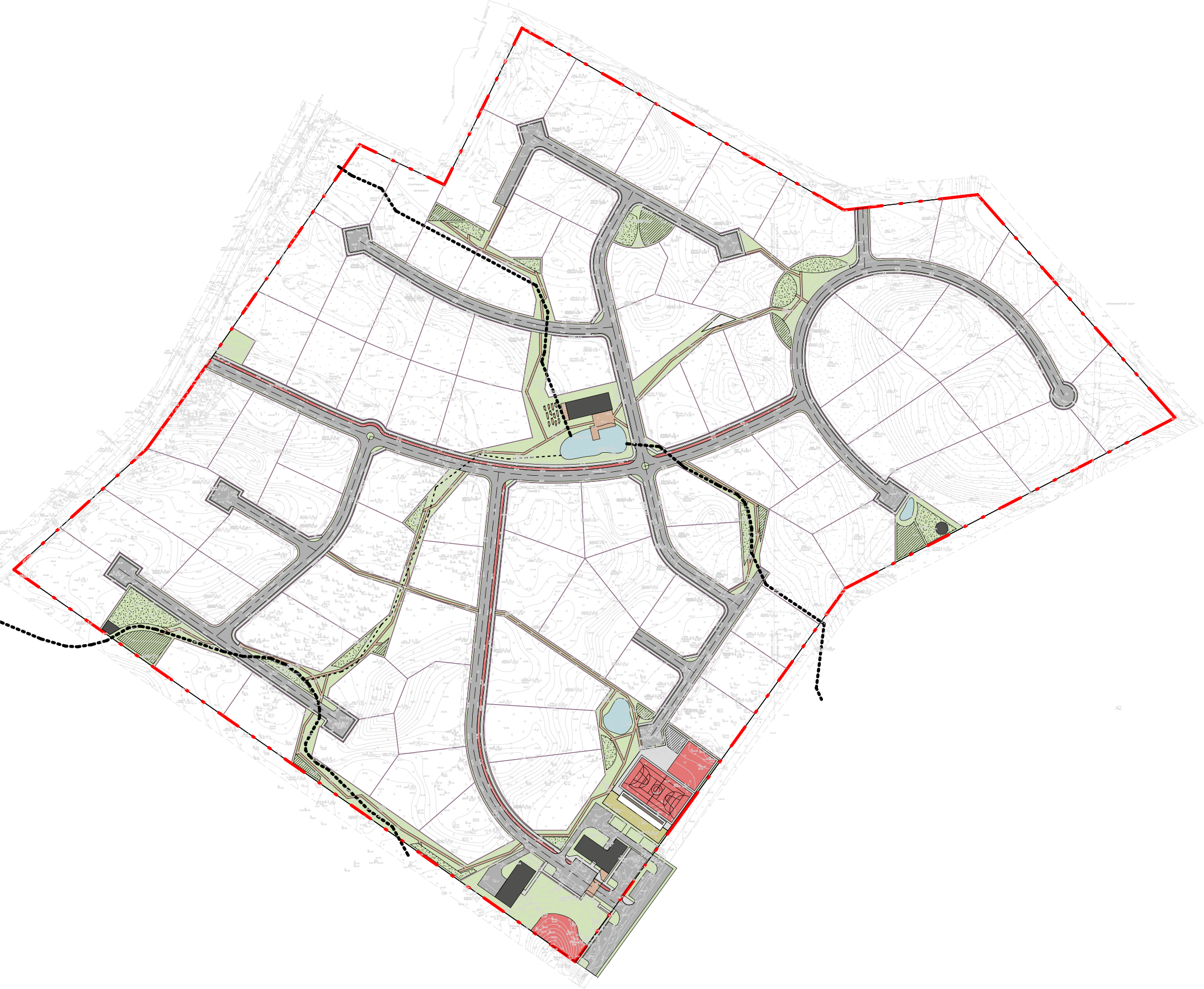
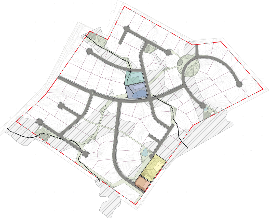
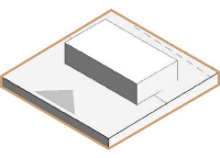
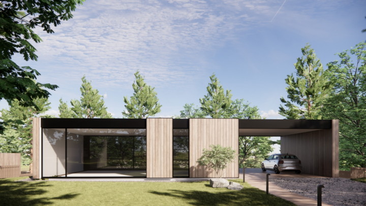
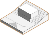
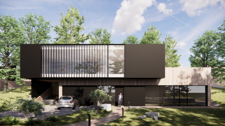
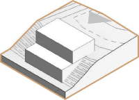
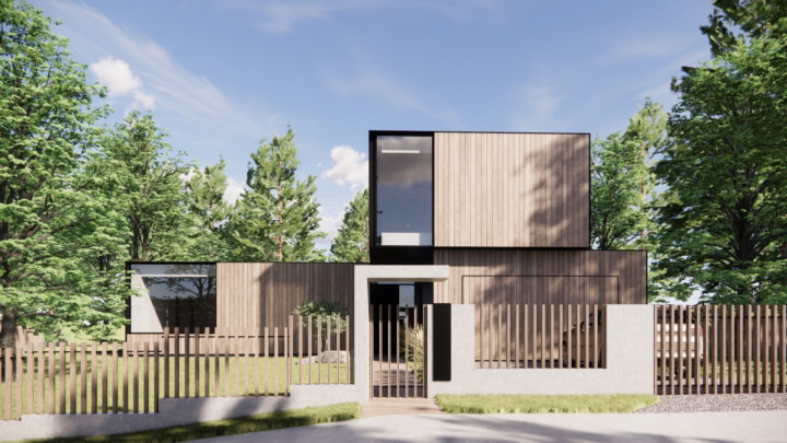
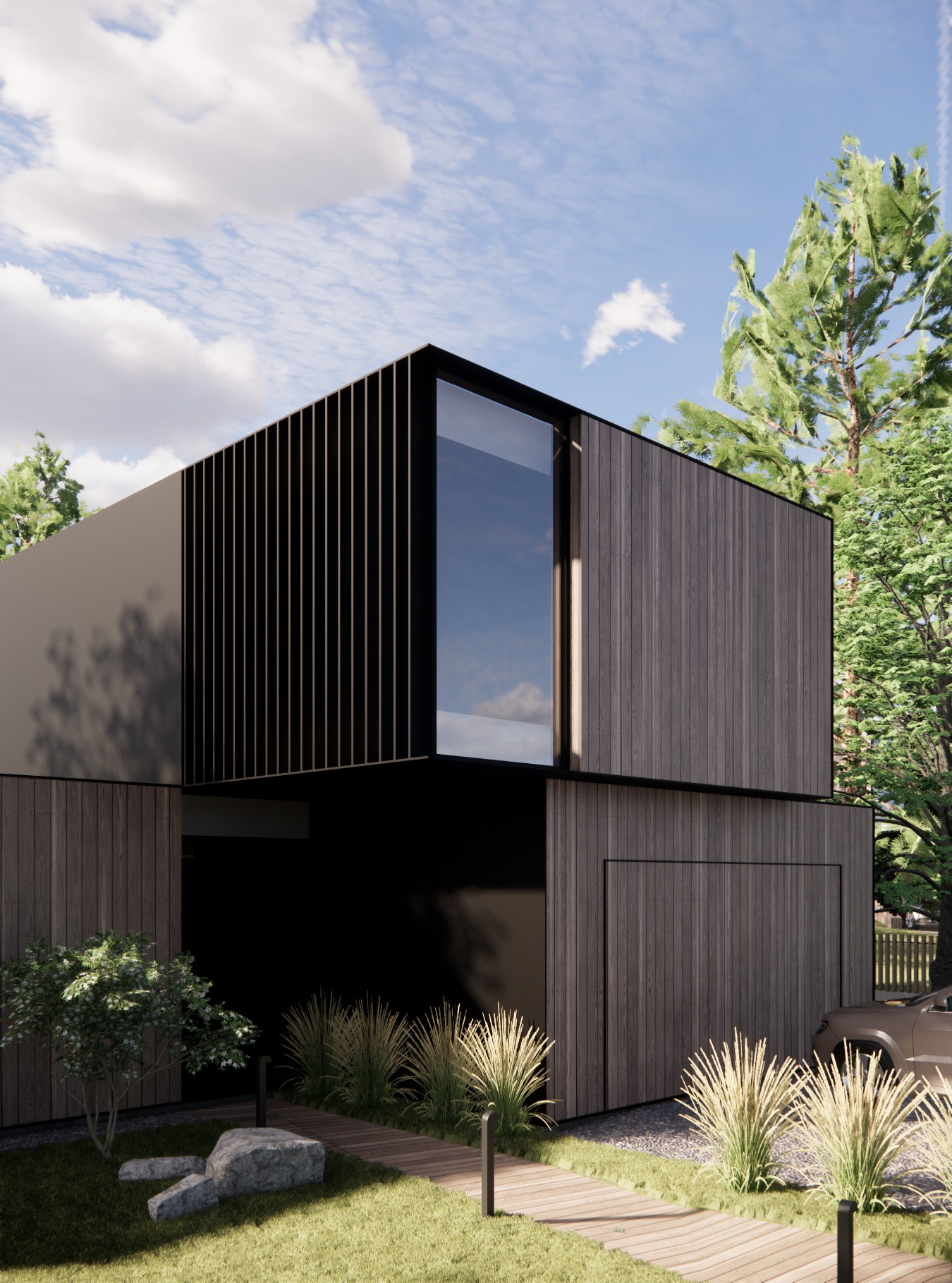
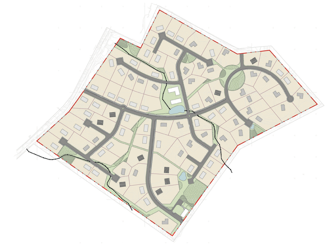
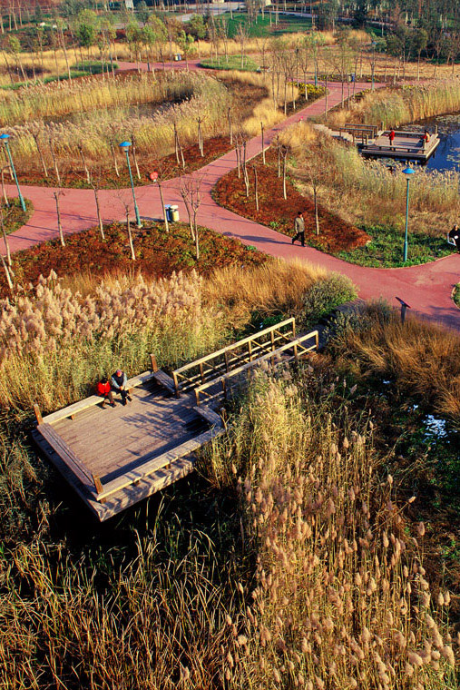
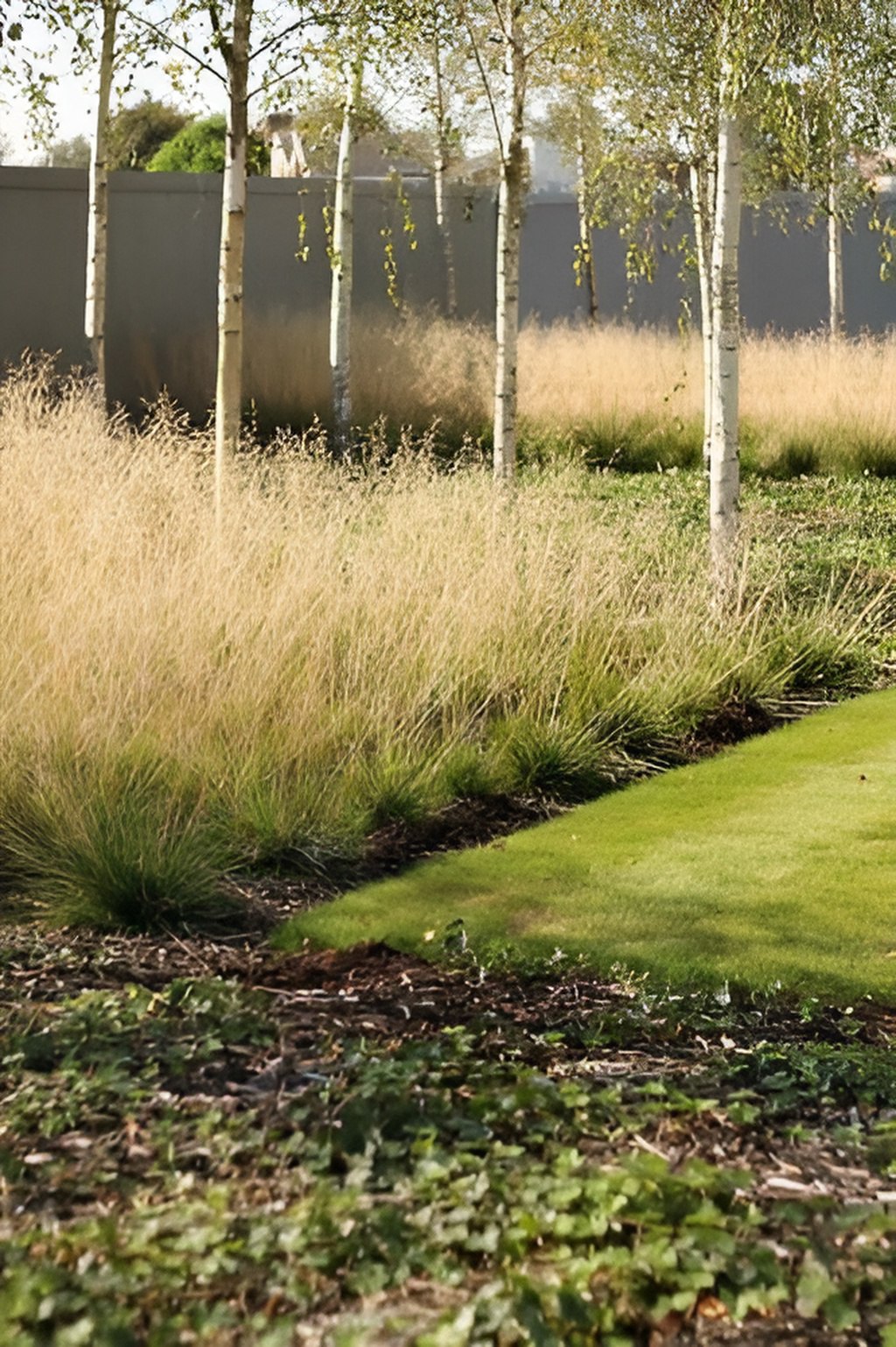
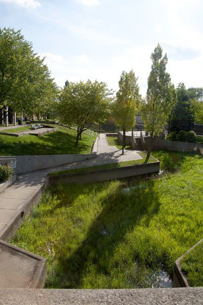
City Quarter Unification 22.15

Unification 22.15

City Quarter
by ZROBIM architects
scroll

Architecture as a unifying factor

Association 22.15 is a village whose main idea is to bring together people with common interests, preferences and value systems around modern architecture.

  • Area: 16,7 ha
  • Project scope: 87+3 homes
  • Year: 2022
Community Center
Linking art to beautification
Safe Environment
Club infrastructure
Unification 22.15

The concept


For the basic idea we took the aesthetic principles of Suprematism and developed a unique planning framework. The avant-garde philosophy of the project can be traced in the deconstructive elements of external landscaping, color contrasts, and creates visual accents of the neighborhood.


Unification 22.15

Unification 22.15

Unification 22.15

Unification 22.15

Unification 22.15

Analysis stage

We always start our work on a large project with an analysis. This is a fundamental stage, because it is from understanding the context of the area we choose the most rational solutions. When analyzing the topography, we started from the existing system of green spaces. We made sure that the layout of the streets with pedestrian paths and delineation of plots does not contradict the natural landscape, but organically complements it.

Location


Analysis of existing infrastructure

Orientation to the sides of the world


Analysis of Species Emphasis

One of the fundamental points of the analysis of the territory was geology. Our village is located near St. Petersburg in an area with lowlands and water bodies. There are also peat lenses there.

Therefore, we located capital buildings in places with the most reliable geology, and in places of lowlands, creeks and streams, we located recreational infrastructure, which does not require capital buildings.

Peat lenses


Water area of the territory

Map of existing roads


Map of forest areas

It was very important to consider the dendrology. The customer provided us with a tree survey, so our goal was to save as many trees as possible. The site visit gave us an understanding of the preferred types of plantings (perennial and mixed) and those that we could sacrifice (young growth) when forming the planning system.

Unification 22.15

Analysis based on photo and video

The next step is to study the area by photo and video materials (obtained from the customer or as a result of the architect's visit to the site). At this stage we can highlight the main advantages and disadvantages of the area, which will subsequently serve as a basis for developing a strategy for positioning the village.

Advantages of the area

  • Territory of a wooded area, the possibility of integrating nature into the infrastructure
  • Proximity to Lake Vartemyaki
  • Water resources
  • Ecology
  • Relief
  • 10 minutes to the nearest infrastructure

Disadvantages of the territory

  • Territorial remoteness from St. Petersburg
  • Lack of modern infrastructure
  • Neighborhood with bad architecture
  • Geological peculiarities

Territory balance

After the analysis stage, we form an area balance, that is, the distribution of each function present in the settlement, as a percentage.

Comfortable cottage village


Next, we calculate the technical and economic indicators based on regulatory documents, offer the customer several options for the development of the territory, and then detail the most appropriate version of the goals of the customer.

Plots with residential houses

125 262 m²

75,16%

Driveways

13 507 m²

8,1%

Green areas

10 327 m²

6,2%

Pedestrian walkways

3 143 m²

1,88%

Kindergarten

2 348 m²

1,4%

Public area with a club house

2 170 m²

1,3%

Recreation area with attraction objects

2 166 m²

1,3%

Entrance group with commerce

2 166 m²

1,3%

Sports area (grounds, simulators)

1 803 m²

1,08%

Walking trails

1 616 m²

0,97%

Playgrounds (by age category)

1 347 m²

0,8%

Cycleways

865 m²

0,52%

Technical and economic indicators

Home typology 1 2 3 4 Trading house with administration and the checkpoint Kindergarten 

Clubhouse

TOTAL
 Approximate building area (m²) 280 220 265 230 390 265 414  
 Floors 1 2 2 2 1 2 1  
 Estimated area of the heating circuit (m²) 155 180 250 255 198 484 223  
 Number of houses 47 5 22 13 1 1 1 870+3
 Total building area (m²) 13 160 1 110 5 830 2 990 390 265 414 24 149 (14,5%)

Total site area - 166 668 m²

Green area

10 327 m²

Area of transport connections (roadway)

13 507 м²

Area of pedestrian connections (paths and ecotrails)

4 759 m²

  • Tracks
  • Ecotrails

3 143 m²
1 616 m²

Cycleways

865 m²

Number of plots for sale

87 pcs.

The area of the sold warm loop

17 000 m²

The area of the territory to be sold

125 262 m²


Three types of residential buildings are represented:

Type 1

Single-story houses on a plot with flat terrain

140 m²

Type 2

Two-story houses on a site with elevated topography

180-220 m²

Type 3

Two-story houses on a site with lowering of the relief

180-220 m²

Unification 22.15

Design stage

After completion of the analytical phase, with the allocation of the main goals and objectives, we proceed to the formation of architectural and planning concept of the settlement with the detailed study of all its elements - from the master plan to the elements of improvement.

Village master plan


When distributing points of attraction in the form of recreational areas, playgrounds and sports grounds, it is very important to consider the radius of accessibility. Therefore, we placed them at a distance from the roadway and at the same time evenly distributed across the territory of the village, taking into account the topology of the favorable and unfavorable development.

01

Functional zoning of the site

In the central part of the village we have located a club house, referring to the historical formation of settlements. The main building serves as a compositional center, around which the block with a grid of streets is grouped. In the entrance area we have located shopping and sports facilities, as these functions can be used for commercial purposes not only for the residents of the village, but also for visitors from nearby settlements.


Legend

 
Entrance group with commerce
 
Sports area
 
Kindergarten
 
Clubhouse - the visual dominant
 
Plots 124 601 m²

02

Unveiling visual perspectives

Tracing pedestrian connections with an abrupt change in geometry allows us to create closed perspectives with visual accents that we create ourselves using architecture and art objects as part of the landscaping.


Legend

Directions of View
The landscaped areas at the end of the visual axes
Accent houses at the end of visual axes

03

Improvement of park areas

Making reference to the granite embankments of St. Petersburg, we have provided the interaction of man with nature direct contact with water through the elements of landscaping.


Legend

 
Park areas 25 304 m² (15.2%)

04

Improvement of playgrounds

Creating natural playgrounds allows not only laconically fit into the formed forest areas, but also provides an opportunity for urban children to communicate with nature: to play with sand and water, on the grass, etc.
Integrating playgrounds into the terrain creates a more interesting play space.


Legend

 
Children's playgrounds (0-6 years old)
 
Children's playgrounds (ages 6-14)
 
Children's playgrounds (14+ years old)
Unification 22.15

Typology of homes

Since we had the task to optimize the development taking into account the active topography, we took as a basis 3 types of houses of different sizes and principles of integration into the site. Thus, in the project presented: a flat house, a house with rising relief and driving from the bottom, the house with lowering relief and driving from the top.
This technique allows you to distribute all the houses without complicating the actual implementation.

House with a flat topography

area 140 m²

House with elevated relief

area 180-220 m²

House with lowering of the terrain

area 180-220 m²

Placement of houses on plots


Legend

 
single-story houses with flat terrain 140 
 
two-story houses with elevated terrain 180‑220 
 
two-story houses with lowering of the terrain 180‑220 


The character of the terrain brings uniqueness and dynamism to the overall typology of the houses. This typological system makes it possible to preserve the natural integrity of the site as much as possible, to optimize the development and to fill its perspective with diversity.

Unification 22.15

Unification 22.15

Unification 22.15

Unification 22.15

Unification 22.15

Unification 22.15

Unification 22.15

Unification 22.15

Unification 22.15

Unification 22.15

Land Improvement

The landscaping, imbued with the mood of Suprematism, also supports modern ideas in ecology.
A variety of perennial plants and the creation of a controlled wild environment make the surroundings attractive and interesting.

There is a systematic management of nature in its natural state thanks to cereal plants, marsh grass growing in low-lying areas, small architectural forms made exclusively of ecological materials. Also an important role is played by eco-trails made of natural board and retaining walls, allowing to preserve the relief and barrier-free environment.


Unification 22.15

Did you like the project?

Share the link:
scroll
Our projects

See other works and completed projects of our studio

Get a consultation

And we will answer any questions you have